The focus of my research on this week’s personal project is export HDA from Houdini to Unreal. And restore the terrain generated by Houdini in Unreal. At the same time, I also studied how to calculate the slope to assign different materials in Unreal’s material system.
Generating terrain
Install plugin
The first thing to do is to install the Houdini plugin for Unreal. Incorrect installation will cause the Unreal system to crash. I have failed many times on this issue. So I will focus on recording.
First we have to find this plugin in the Houdini folder. Then Copy HoudiniEngine file.
Finally, open the Runtime file of EPIC and copy the HoudiniEngine file to this directory.
HDA
在导入Unreal之前我们要完成HDA的制作。
The picture represents the HDA file that needs to be exported. Among them, L1, L2 and L3 represent the spline curves used to generate the terrain. This introduction was mentioned in the production idea of the Blog last week.
The rest of Import L2 and Import L3 are similar to this folder.
The picture shows the L1 parameters that need to be exposed in the Landscape folder. L2 and L3 are similar.
It is worth noting that: Object mapping needs to link to the File node, not the ObjectMerge node. So we need to output a model in bgeo format.
This is the output of the fish model in bgeo format.
Generate landscape in Unreal
When importing Unreal, we should pay attention to the display of terrain in Houdini, which will affect the display in Unreal.
After importing the terrain, we found that the terrain is not in the shape of a fish. This is because we did not import splines.
In the parameters of landscape HDA, we make the above changes. It should be noted that L1 corresponds to L1, L2 corresponds to 2, and L3 corresponds to L3, including bgeo model selection.
After the selection is over, we have to click Rebuild Asset.
This is the terrain I get.
The last step is to convert the HDA terrain to Unreal terrain, click Bake at the location shown in the figure above.
Landscape Material
First, I will introduce some key nodes and their usage:
As shown in the figure, the function of the Heightlerp node is to sort and output terrain elevation data.
The function of MatlayerBlend is to blend the two shaders, and we can freely control the superposition relationship of the two shaders through Alpha.
The above figure is the calculation formula of the slope in the terrain material.
This is the primary way of linking terrain materials. The link method can freely adjust the slope of the rock and the switch of the size of the rock, which will make the transition effect of the rock and the vegetation layer softer.

before
after
In the screenshot above, I also made a map of the distant view. Through the comparison, it can be found that before the modification, the distant rocks will be obvious, and this visual effect is not what we want. I hope that the farther the rock is from the camera, the smaller the UV map of the rock. For this, I changed the shader.
Through calculation, we can change the texture map in the distance and adjust the UV of the texture.
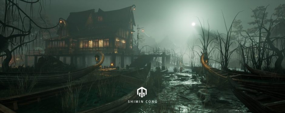
Finally, by manually drawing the material, I got the terrain as shown in the picture.